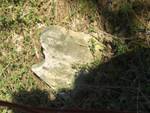
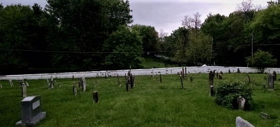
 As part of a broader effort to identify and preserve Loudoun County historic cemeteries and burial grounds, a newly-developed, interactive Loudoun County cemeteries map was unveiled at the June 4 Board of Supervisors meeting. With the help of various community groups, County staff has identified 212 cemeteries and burial grounds which are pin-pointed on the new map.
However, there are still many abandoned burial grounds in the Lovettsville area which are not yet included in the County’s map and database. Lovettsville Historical Society members have learned of a number of reported family or enslaved burial grounds in recent months, and we are asking anyone with information about any abandoned cemeteries in this area, to share that information with us.
The County cemetery initiative was launched in April 2018 by the Board of Supervisors, which directed the County’s Office of Mapping and Geographic Information (OMAGS), in consultation with the Department of Planning and Zoning (DPZ) to create a database of active and inactive cemeteries which could provide residents and developers with more accurate information on the location of cemeteries around the county. This is especially urgent with the rapid pace of development in the eastern part of the county, but even in the Lovettsville area, once-rural properties are being subdivided and developed, increasing the possibility that our 19th century burial grounds will be lost forever.
Loudoun Now ran a front-page story on March 21 entitled “Protecting Loudoun’s Buried Past,” available here, which provided a lot of background on the cemeteries initiative.
Here is the County’s news release reporting on the cemeteries presentation at the June 4 Board of Supervisors meeting.

