“American Indian Map of Loudoun County”
to be presented by Eugene Scheel
Sunday, May 19, at 2:00 p.m.
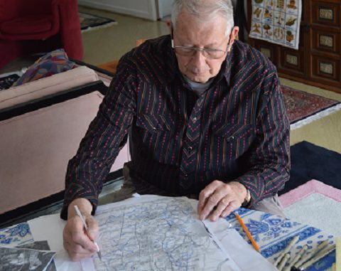
Eugene Scheel has taught American Indian History to Loudoun County teachers for many decades, and he has now published his research as an “American Indian Map of Loudoun County,” which will be presented to the public for the first time on Sunday, May 19 at 2:00 p.m. to the Lovettsville Historical Society.
The new map covers the settlements, travel ways, fish traps, and sites – both visible and now gone – of the seven Indian nations that once lived here: Algonkian, Sioux, Tuscarora, Piscataway, Conoy, Susquehannock, and Iroquois. Printed in color and measuring 13 by 19 inches on sturdy stock, this map is the first in Virginia to detail the presence of the first peoples here. Drawings after John White decorate the map’s borders.
Gene will talk about the comings of these first settlers, the theories of how they got to Loudoun, and will continue the First Americans’ history through their final demise, ca. 1723. He will also detail the reasons and commentaries of the first four explorers in Loudoun as their journeys concerned Indian matters.
The map details the routes of the first four expeditions between 1692 and 1712. A facsimile of a 1707 map showing the route of the first exploration into the Lovettsville area will be given to the audience for reference.
The new American Indian Map will sell for $20.00, and Mr. Scheel will donate half of the proceeds of the sale of this map to the Lovettsville Historical Society. He will also have copies of other area maps, Short Hill and Civil War, for $20, and the now-rare Potomac River Map, for $30. All may be autographed by Mr. Scheel if desired.
The presentation will be held at St. James United Church of Christ, at 10 East Broad Way in Lovettsville. Admission is free, but donations and are welcome to defray expenses of the program and to support the activities of the Lovettsville Historical Society.

